This post may contain affiliate links (including amazon.com because we participate in the Amazon Services LLC Associates Program). Full disclosure is here.
These fun, free, printable images of the world and its continents are great geography exercises and awesome world map coloring pages for kids, students and adults alike. Find out how to use them below, then choose the ones you need and download them in full-page PDFs to start coloring in and learning!
How to use these world map coloring pages
These maps come in many shapes and sizes, which can be used for many learning experiences.
Use the blank outlined coloring pages in geography projects or in lessons, to show where Africa, Antarctica, Australia/Oceania, Europe, North America, and South America are located on the map. To add to the fun (and learning), play this Easy Continent I Spy Game or this Medium Level I Spy game. Or get the Continents and countries game to play with a timer – how many countries can you name in each continent?
Get the class to color in the continents in different colors and label them. Or use the labeled map to teach them where the continents sit and how to spell their names.
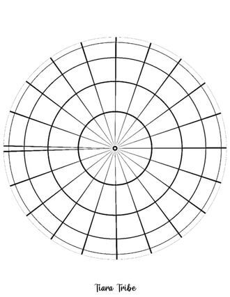
Use the longitude and latitude lines on the globes and map coloring sheet to demonstrate the equator and how to read a map.
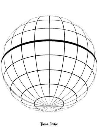
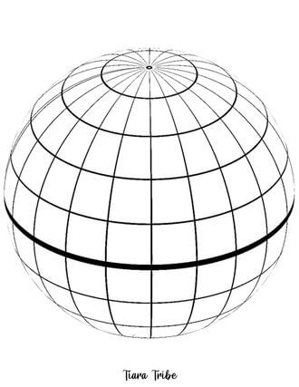
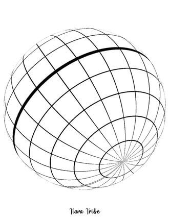
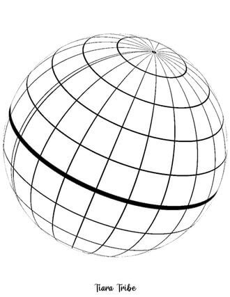
For older and more advanced world map exercises, use the globes with grids and ask students to draw in the continents themselves, from different angles. This is a great geography and visual-spatial exercise.
Resources mentioned in this post
-> Continents I Spy Game Easy Level
-> Continents I Spy Game Medium Level
-> Continents and Countries Game
How big are these world map coloring pages?
All of these world map images are designed to be printed on standard US letter size paper (8.5 x 11 inches). They will easily fit on standard A4 paper too, if you aren’t based in the US. This article will give you all the info you need about paper sizes.
These are all large world maps, but you should be able to adjust the print size when you print your free templates from your computer.
There are coloring pages in landscape and portrait format.
How to print these world map color pages
Just click on the world map you like to open it in a new window on your screen.
In the top-right of the new window, you should see an option to download and save the world map drawing for later or to print it out. Choose what you’d like to do.
If you’re making cards, I suggest using this high quality card stock. Want map stickers? Then you can use this sticker paper and this handy tool to cut them out.
You may need to adjust your printer settings to fit the page, or adjust the percentage to change the size of the map printed.
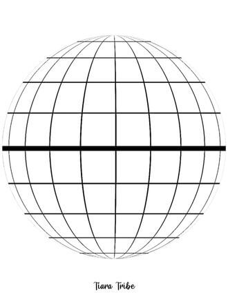
Easy map of the world coloring page for young children
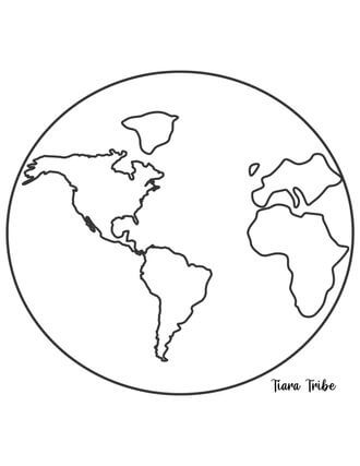
This simple map of the world is great for kindergartners and young children. It’s a globe showing the continents. It also makes a great coloring page, so be sure to click on the image and print it out.
Map of the world with seas labeled (Robinson Projection)
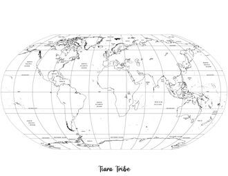
This world map has so many things! It’s based on the Robinson projection of the world, with lines marked for longitude and latitude.
All the oceans and seas are labelled in this map, but not the continents.
Flat map of the world with islands – no labels

This world map shows all the islands off the continents. It comes without any labels, which makes it a great geography project to label all of the continents and seas.
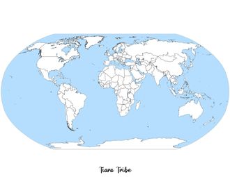
Flat map of the world with sea colored in blue – no labels

This is a flat map of the world, with blue showing the oceans and seas.
The map also shows the political regions (countries) in Africa and the islands off the continents.
Blank World Map with blue sea
This empty globe map also has blue for the seas. The countries in Africa are shown, along with the islands.
Flat map of the world – no labels or colors

This plain map is a great activity for the kids. Let them label the continents or just color them in and learn how the world looks!
Table 1: All the World Map Coloring Pages
Easy map of the world coloring page for young children | Map of the world with seas labeled (Robinson Projection) |
 Flat map of the world with islands – no labels | 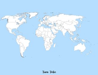 Flat map of the world with sea colored in blue – no labels |
Blank World Map with blue sea | 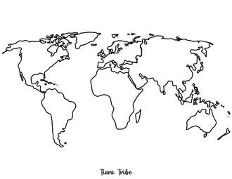 Flat map of the world – no labels or colors |
Empty globe with grids from different angles
I added these empty globes for learning projects. Print them out for free, then use them in geography projects or classes. You can download the flat world map above, cut out the continents, then ask the kids to color in and paste the continents on the globe, in the right place.
Want more of a challenge? Then use the other empty globes to show the world from different angles – and how things like the sun and the Earth’s rotation affect us on Earth.
The globes can also be used to show concepts like latitude, longitude, hemispheres, meridians, and the equator.
Free Continent Coloring Pages
Africa Coloring Page With Country Borders

Africa Coloring Page Without Country Borders

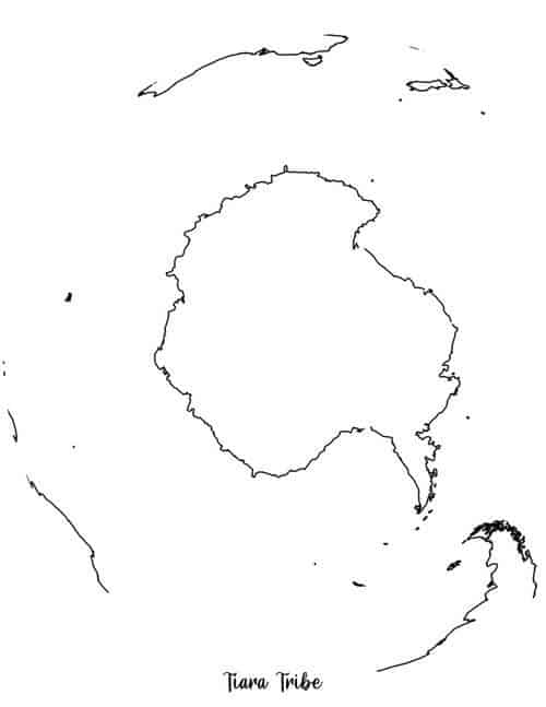
Antarctica Coloring Page
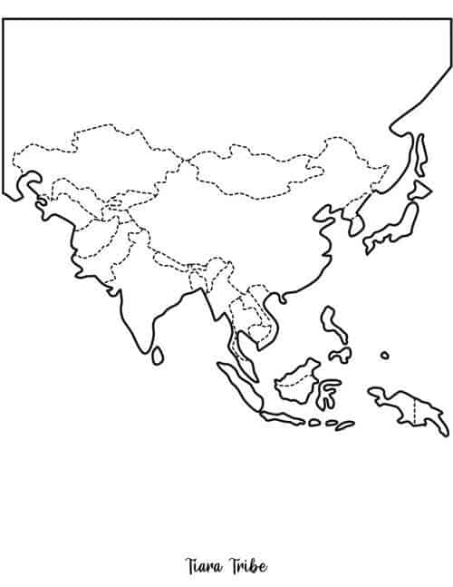
Asia Coloring Page
Australia Coloring Page Without State Borders

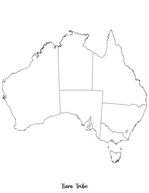
Australia Coloring Page With State Borders
Europe Coloring Page

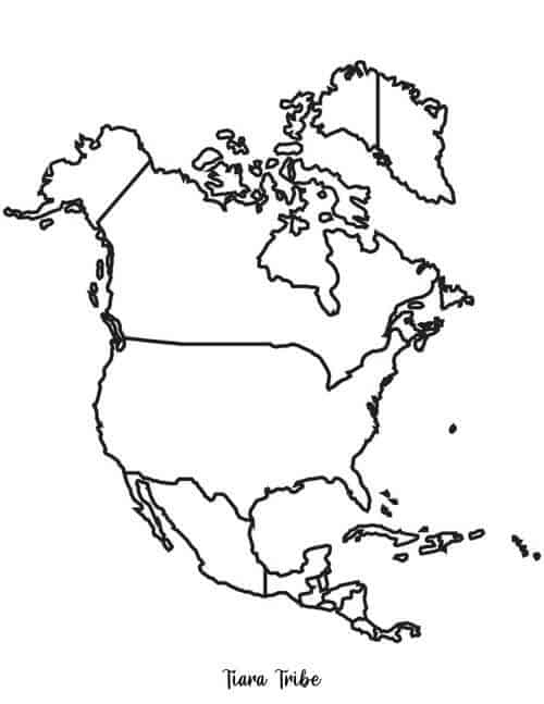
North America Coloring Page
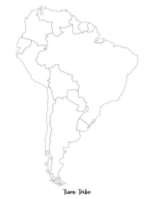
South America Coloring Page
Conclusion
I hope you love your new world map and continent coloring pages!
If you want to plan a fun trivia night and need questions, hop over to THIS post for geography questions and answers.


